
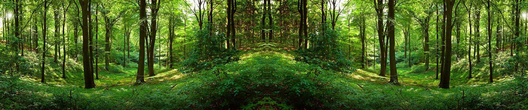
Evaluating forest conditions and developing strategies for forest management is a challenging task. Many government, state, and private forestry organizations and agencies today utilize Geospatial technology such as GIS and LiDAR for various applications supporting analysis, assessment, and management of our forests.
GIS technology offers details, which are helpful for forest vegetation, such as areas suitable for Forest resource assessment and monitoring, Forest harvesting, Forest rehabilitation, Forest conservation and biodiversity, Spatial databases for forest management, Wildlife habitat conservation and planning.
LiDAR data can be used to measure the three-dimensional structure of a forest stand and produce a model of the underlying terrain.
LiDAR has provided significant benefits for forest development and engineering operations including locating roads, harvest planning, forest regeneration, and more. The ability to identify suitable creek crossings, determine optimal routes, and locate previously unmapped historic roads aids in reducing costs and creating operational efficiencies. LiDAR has also offered an improvement to existing forest inventory methods and procedures. An increasing number of forestry and land management organizations are using LiDAR for forest inventory measurements. A wide range of information can be directly obtained from LiDAR including,
Digital Elevation Models
Tree heights and digital surface models
Crown cover
Forest structure
Crown canopy profile
Volume—Canopy geometric volume
Biomass—Canopy cover
Density—Height-scaled crown openness index and counts of delineated crowns
Foliage projected cover—Crown dimensions
