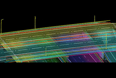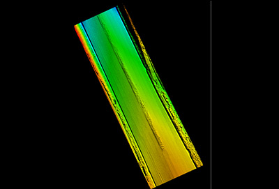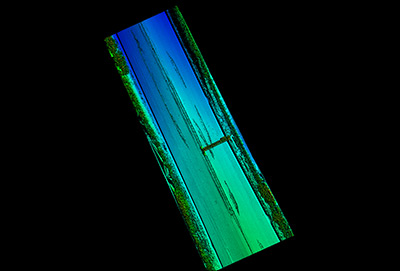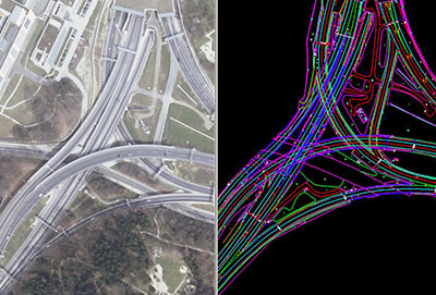
Mobile Lidar is an innovative mapping system, using vehicle-mounted Lidar sensors, cameras and position/navigation to collect survey quality point data. Mobile lidar offers numerous advantages over aerial mapping and conventional ground surveys. Our company resources having domain expertise will be allocated to process the mobile lidar data. It includes
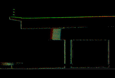
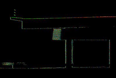
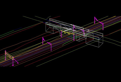
MOBILE FLIGHT LINE MATCHING
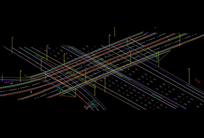
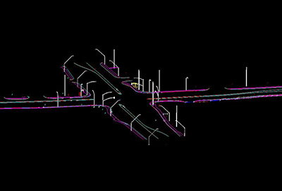
2D MAPPING
3D MAPPING
CONTOUR GENERATION
SURFACE TIN GENERATION
PLS CADD MODELING