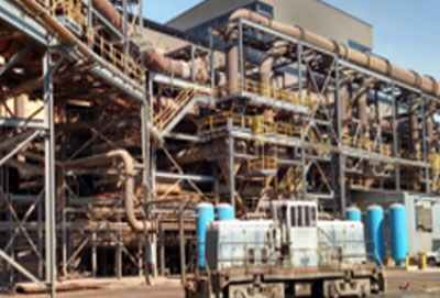
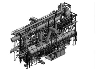
Terrestrial 3D scan modeling
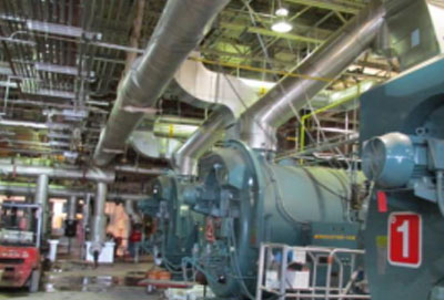
Sun Geomatics offer a unique solution that delivers high definition 360 degree by 320 degree scans to a 3d CAD solid model. These as built high definition 3d data sets produce a virtual plant / facility environment that can be integrated directly with CAD systems (AutoCAD, Microstation, CADworx, AutoPlant, SmartPlant 3d, PDS, PDMS) to integrate and clash check against new design models elevation, measurement, co-ordinates, pipe diameters and high definitions pictures can be extracted with the click of a mouse.
Engineering groups can design within this data to ensure the elimination of clashes and interferences. This is opposed to the conventional alternative of relying on existing drawings that are typically not up to date.
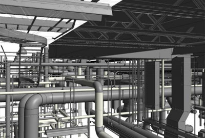
As Built 3D Model
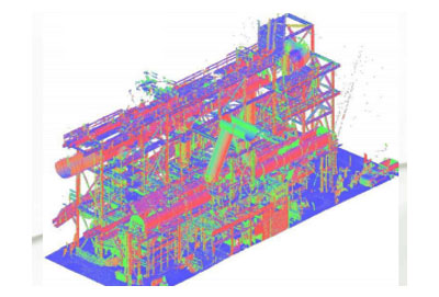
3D Model from 2D Drawings
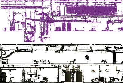
2D Plan Extraction
Sculpture Model

© Copyright 2021 by SunGeomatics. All Rights Reserved.